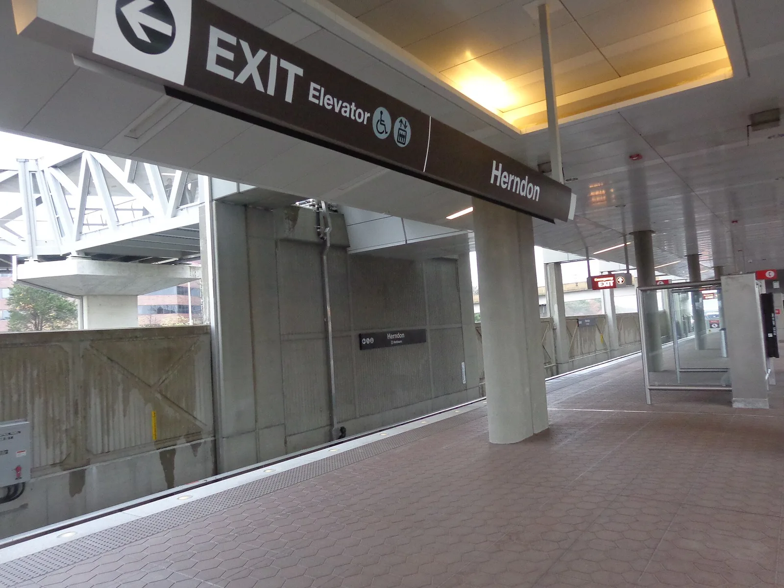
The Herndon Metro station area, the west end of Fairfax County's Reston plan, is mostly in ZIP 20171 and zoned for McNair, Carson and Westfield High.
Last checked Oct. 20, 2026. Sources: Fairfax County’s Reston plan, Herndon Transit Station Area (enCode Plus) and GIS layers, FCPS 2026-27 attendance areas, the Virginia Department of Education’s School Quality Profiles, Zillow Research, the Census Bureau, Fairfax Connector schedule data and OpenStreetMap.
The Herndon station area is the west end of Fairfax County’s Reston plan, on the south side of the Dulles Toll Road around Herndon station. Despite the name, it is outside the Town of Herndon: like Reston, it is unincorporated Fairfax County. It holds Woodland Park, a planned mix of offices, shops, a hotel and apartments, and, south of Sunrise Valley Drive, the Great Oak neighborhood of townhouses and single-family homes. Most of it has Herndon mailing addresses.
What this means for you
- Zoned high school: Westfield High, in Chantilly, for about 94% of the area; a small part goes to Herndon High. Check an address on the FCPS boundary locator.
- Home value: $799,118 in ZIP 20171 in September 2026, according to the Zillow Home Value Index.
- Nearest toll road exit: Exit 11, Fairfax County Parkway (Route 286), about 0.3 mile from the middle of the area in a straight line.
Part of our Reston neighborhoods guide.
Where it is
The plan bounds the station area “on the north by the DAAR, the east by Fairfax County Parkway, the south by Sunrise Valley Drive, Frying Pan Road and Fox Mill Road, and the west by Centreville Road.” The county’s Reston Transit Station Areas map layer puts it at about 426 acres. Inside it:
- Around the station: the strip “immediately adjacent to the south side of the Metro station,” planned as “a moderate intensity urban neighborhood” next to private wetlands along Sunrise Valley Drive, with heights “in harmony with the nearby Polo Fields subdivision.”
- Woodland Park: about 163 acres between the toll road, Monroe Street, Sunrise Valley Drive and Centreville Road, with “office, retail, hotel, and residential uses.”
- Great Oak: about 99 acres south of Sunrise Valley Drive, bounded by Monroe Street and Fox Mill Road. The plan lists “the Great Oak subdivision, a development of townhouses and single-family homes, the Woodland Park Apartments, and the Fox Mill Station condominiums,” and says the area “is planned to remain for residential uses at the approved densities.”
About 74% of the land is in ZIP code 20171 and 18% in 20191, with small parts in 20170 and 20196. The Census Bureau counts about two-thirds of the area in its McNair census-designated place and a third in Reston. Fairfax County provides police, fire and rescue. See who to call.
Schools
From the FCPS 2026-27 attendance area maps in Fairfax County’s GIS, laid over the county’s station area boundary. Shares are of land, not students. Every school below is Fully Accredited for 2025-26.
| Level | School | Address | Share of area | State profile |
|---|---|---|---|---|
| Elementary | McNair Elementary | 2499 Thomas Jefferson Drive, Herndon | 94% | report card |
| Elementary | Herndon Elementary | 630 Dranesville Road, Herndon | 6% | report card |
| Middle | Carson Middle | 13618 McLearen Road, Herndon | 94% | report card |
| Middle | Herndon Middle | 901 Locust St., Herndon | 6% | report card |
| High | Westfield High | 4700 Stonecroft Blvd., Chantilly | 94% | report card |
| High | Herndon High | 700 Bennett St., Herndon | 6% | report card |
This is the one area in this guide outside the South Lakes High zone in full. Check the exact address on the boundary locator. More in our Reston schools guide.
Home values
The typical home value in ZIP 20171 was $799,118 in September 2026, up 1% from $791,443 in September 2025, according to the Zillow Home Value Index. In 20191 it was $610,099. Zillow’s figure for all of Reston was $622,037 and for Herndon $722,139. The index is a modeled typical value for the middle third of homes, not a sale price, and 20171 covers a large area west and south of here, not just the station area. More in our home prices guide.
Parks and trails
From OpenStreetMap:
- Sunrise Valley Park, inside the area.
- Haley M. Smith Park, about 0.6 mile away, and Stratton Woods Park, about 0.7 mile away.
- Worldgate Pond, about half a mile north across the toll road.
The plan calls for “plazas, parks, trails, and public art throughout the district” as it redevelops. More in our parks and trails guide.
Getting around
- Metro: Herndon station on the Silver Line, about 0.5 mile from the middle of the area in a straight line.
- Toll road: Exit 11 (Fairfax County Parkway, Route 286), at the area’s east side, by the exit numbers in OpenStreetMap.
- Reston Town Center: about 3 miles by road.
- Airports: about 6.6 miles to Washington Dulles International and 25.5 miles to Reagan National. Downtown Washington: about 24.3 miles to Metro Center. These are distances from the middle of the area on the OpenStreetMap road network with the OSRM routing engine, not drive times.
- Buses: Fairfax Connector routes 553, 901, 924, 937, 950, 951, 954 and 983, the route to Dulles Airport, and the RIBS 2 loop stop in the area, according to the county’s schedule data. See Connector schedules.
More in our getting around guide.
Groceries and everyday stores
From OpenStreetMap:
- Harris Teeter, 12960 Highland Crossing Drive, in Woodland Park
- Giant, 2425 Centreville Road, about 0.8 mile west
How we drew this area
The Herndon Transit Station Area is one of three transit station areas in Fairfax County’s Comprehensive Plan for Reston. Its edges here are the county’s own, from the Reston Transit Station Areas layer in the county GIS. School, ZIP and Census shares come from laying the FCPS attendance areas, the county ZIP code map and the Census Bureau’s 2020 places over that boundary. Park and store locations are © OpenStreetMap contributors.
Frequently asked questions
Is the Herndon Metro station in Reston or Herndon?
Neither town limit applies. The station and the area around it are unincorporated Fairfax County, outside the Town of Herndon. The county’s Reston plan includes the area as the Herndon Transit Station Area, while the Census Bureau puts about two-thirds of it in its McNair area and a third in Reston. Most addresses are Herndon, ZIP code 20171.
What schools serve the Herndon station area?
McNair Elementary, Carson Middle and Westfield High for about 94% of the area in FCPS’s 2026-27 maps, with a small part zoned for Herndon Elementary, Herndon Middle and Herndon High. All are Fully Accredited for 2025-26.
Is the Herndon station area a good place to live?
Here are the facts. The area mixes the Woodland Park apartments, offices and shops north of Sunrise Valley Drive with the Great Oak townhouses and single-family homes south of it, next to Herndon station and Exit 11 of the toll road. Its zoned schools are all Fully Accredited for 2025-26, and Zillow put the typical home value in ZIP 20171 at $799,118 in September 2026.
What ZIP code is the Herndon station area?
Mostly 20171, about three-quarters of the area in Fairfax County’s ZIP code map, with Herndon mailing addresses. The eastern part is in Reston’s 20191.
Have your say